
Welcome
The Federal Emergency Management Agency’s (FEMA’s) Region II office has prepared a coastal flood study to update Flood Insurance Rate Maps (FIRMs) for communities in coastal New Jersey and New York. The flood hazards shown on the FIRM are used to determine flood insurance rates and requirements and where floodplain development regulations apply. The updated maps will help communities plan for and reduce the risk from flooding in the future. Start taking steps now to keep your communities and families safe from flood risk:
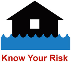 Understand the risk of flooding in your area so that you know how future floods may affect you and if specific flood insurance and building requirements apply to your property (or will apply in the future.) View the preliminary FIRMs to find out your flood risk.
 Learn about your role in the map update process as a community official or as a homeowner, renter, or business owner and how you can reduce flood risk to your home and in your community.
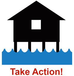 Use FEMA flood hazard data to make informed decisions to reduce your flood risk and for rebuilding and recovery efforts. Then share your story with others so they can learn from your experience.
Questions or comments? Visit our Contact Us page to find a subject matter expert who can help.